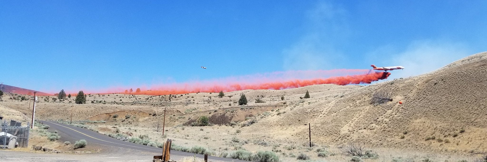
Boxcar Fire: 95,850 acres Containment: 47% Reported: June 21, 7:48 am Cause: Lightning
Jack Knife Fire: 14,772 acres Containment: 65% Reported: June 22, 8:11 am Cause: Lightning
Firefighters have accomplished significant containment on both the Boxcar and Jack Knife Fires, burning south and east of Maupin in Wasco and Sherman Counties. Estimated containment for the Boxcar Fire is 47% and for the Jack Knife Fire is 65%.
The Boxcar Fire is now 95,850 acres. Yesterday heavy smoke lingered in the area due to an inversion holding warm air and smoke low to the ground. Smoke increased midafternoon due to fire activity on the Fire’s eastern flank between Highways 197 and 97. Fire crossed over the dozer line and an additional spot fire was detected in the area. Aerial resources assisted firefighters with water and retardant drops to suppress this burning. Those sites will be tied back into the main fire containment perimeter today. On the southern edge of the Boxcar Fire, firefighters burned out remaining fuels to increase containment along South Junction Road and the Deschutes River corridor. Night shift crews monitored the south and east portions of the fire, continued protection of structures, and accomplished an additional ½ mile of burning-out along the River corridor, leaving approximately one mile to complete today. Prineville District BLM River Rangers will transport firefighters via jet boat to otherwise inaccessible areas to continue to secure the fire’s edge along the river. Aerial resources are available to the fire as needed.
The Jack Knife Fire grew to 14,772 acres as ground crews made great progress burning to containment lines and continuing to secure the Fire’s north and south edges down to the John Day River. Firefighters will be working throughout the day to cool hot spots on the perimeter and improve containment.
Today’s weather will be cooler (78 degrees) with higher relative humidity (30%). Strong, gusty winds out of the north/northwest are expected in the fire area and could push Boxcar Fire activity towards the east. Crews will continue efforts to contain and secure this perimeter, keeping the Fire west of Bakeoven Road.
As a reminder, Deschutes River recreation sites are open to the public. Recreationists are encouraged to use caution in the fire area. Fire-blackened sites can still contain hot spots from burning stumps or heated rocks. Rocks that have rolled down from steep canyon slopes have been reported on the road.
Closures:
- On the John Day River, river miles 68 through 55 are closed to camping.
- A Level 1 Evacuation Notification is in place for the area bounded by Hwy 97, Hwy 216, the Deschutes River, and the South Junction Road. Residents are encouraged to be aware of the threat in their area and consider how they would evacuate should conditions change.


