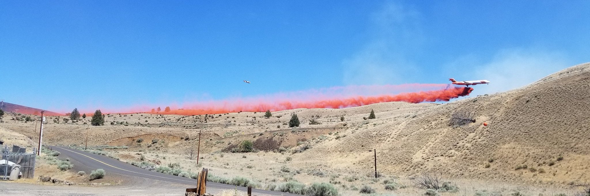
CENTRAL OREGON – The most significant fire activity came from the east side of COFMS protected lands today. The lightning storm that passed through the area last week started approximately 25 fires along the John Day River from Priest Holt to the south and Lower John Day WSA to the north —the largest of which is the Stubblefield Fire at 16,700 acres and 29% containment.
The Oregon State Fire Marshall Blue Team along with the Prineville District Bureau of Land Management and Gilliam County are managing several incidents including the Stubblefield Fire, the Seale Fire (8,000 acres and 15% contained) and Lonerock Fire (4,500 acres). There will be a public meeting about these fires on Monday, August 20 at 7:00 p.m. Lonerock Community Hall, 104 SE Main Street, Lonerock, OR.
Evacuations issued by the Gilliam County Sheriff’s Office for Seale, Stubblefield and Lonerock Fires are as follow:
o Level 1:
– West side of Lonerock Road from Lost Valley Road South to the County Line.
– Buckhorn Lane
– Richmond Road, Air Base and Ferry Canyon area.
o Level 2:
– The north end of Ferry Canyon Road and the west end of Richmond Lane.
– East of Lonerock Road and all of City of Lonerock.
– North end of Ferry Canyon Road and the West end of Richmond Lane
The Jennie’s Peak Fire grew significantly today to the south and west and is now 8,000 acres with no containment. A Level 2 evacuation notice was issued at Tadpoor Lane and Twickenham. Burnt Ranch Road is closed at Priest Holt and Priest Hole is closed.
The Mile Post 6 fire on the Crooked River National Grassland 50% contained at 1,500 acres and the campground at Haystack Reservoir has now been downgraded to a Level 1 evacuation.
The Spring Creek Fire has been contained at 16 acres. All evacuation levels for Perry South and Monty campgrounds have been lifted.
####


