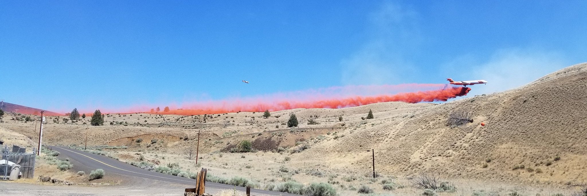
Jennie’s Peak Fire has been active today growing to approximately 36,000 acres moving primarily to the west. Winds are starting to pick up from the northeast making it more challenging this evening. Today, firefighters continued with indirect tactics to creating over nine miles of line along the south and southwest side of the fire on the John Day River from Twickenham Bridge to Juniper Canyon. As weather conditions allow, this work will continue on the John Day River from Juniper Canyon to Rhodes Canyon tonight. The east side of the fire is also active but the fire line is holding.
Firefighters are also actively working in coordination with Oregon Department of Forestry and landowners on the northeast section of the fire to protect private range and timberlands. Crews are continuing active protection for private homes and ranches near the fire. Priest Hole Campground continues to be closed at a Level 3 evacuation and homes along the Burnt Ranch Road are under a Level 2 (Get Set) notice. Wheeler County Sheriff has also closed Pine Creek Lane and Bridge Creek Road to the general public. Please avoid these areas as fire personnel and equipment will be using them for fire suppression.
Northwest Interagency Team #7, a Type 2 Incident Management team, will be working in Unified Command with Oregon State Fire Marshal’s Blue Team starting tomorrow morning. They will be managing the Jennie’s Peak, Stubblefield, Seale, Lonerock and Buckhorn fires that are burning within Gilliam and Wheeler Counties.


