Incident Commanders: Ian Yocum, Oregon State Fire Marshal & Eric Knerr, Northwest Team 7
Contact: Rich Tyler, OSFM/Jeanne Klein, NW Team 7 541-239-3619
Follow Fire Information on Facebook Pages:
Gilliam County Sheriff https://www.facebook.com/GilliamCountySheriff/
South Gilliam County Rural Fire Protection District https://www.facebook.com/South-Gilliam- County-Rural-Fire-Protection-District-783137915065669/?ref=br_rs
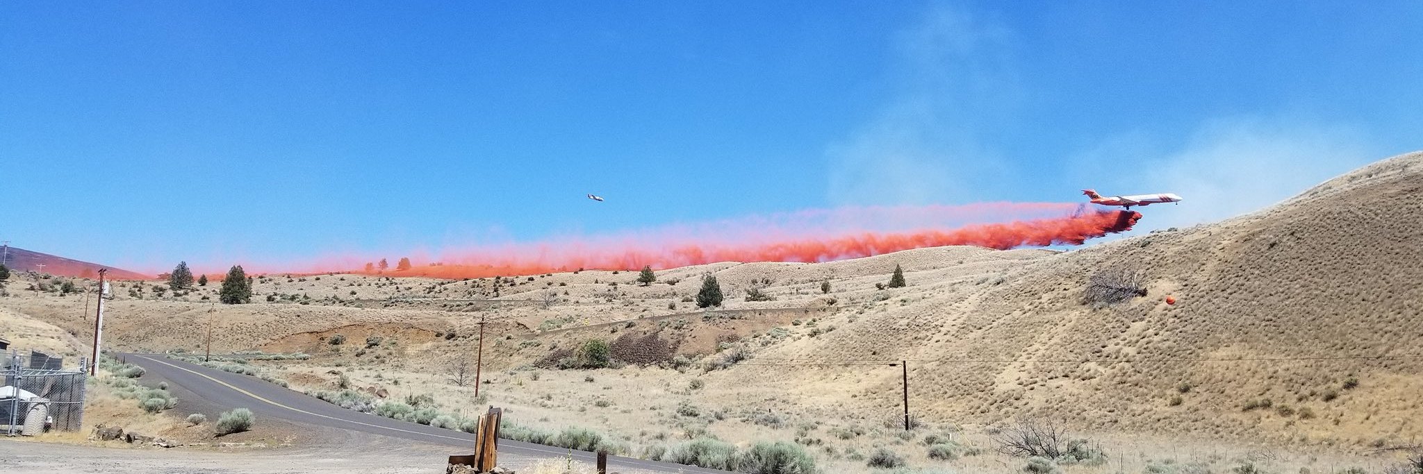
[Condon, Oregon] There will be a community meeting tonight at the Condon Fire Station, 220 N. Main Street, at 5:30 p.m. Last night, firefighters continued to mop up and patrol the firelines around the Stubblefield Fire, looking for, and extinguishing any smoke or fire near the fireline. Today, the Oregon State Fire Marshal’s Office team will be returning to their home jurisdictions, due to the diminished risk to homes in Gilliam County. The wildland incident management team, NW Team 7, will continue to work with local structural firefighters, as needed, to manage the fires. This afternoon, for the Stubblefield and Lonerock Fires, there is a Fire Weather Watch for high winds, low relative humidity and high temperatures, which could test the firefighting efforts.
Stubblefield Fire (now includes Seale Fire) – The fire is currently 70% contained and is 57,703 acres (combined acreage between Stubblefield and Seale Fires). The fire was active yesterday on the far western flank, crossing Buckskin canyon and currently is holding at the ridge above Buckskin canyon where there is a containment line. The fire remains on the east side of the John Day River. All other established containment lines held, and crews continued to mop up any hot spots.
Lonerock Fire – This fire is now 75% contained and did not grow yesterday. The fire size remains at 5,056 acres. Crews mainly worked the southeastern flank of the fire yesterday to continue to strengthen the remaining fireline. Most remaining smoke and torching was on the interior part of the fire, away from the fire edge.
Jennie’s Peak – This fire is 65% contained and 39,000 acres. Last night the fire was active in the northeast flank, with a 70 acre spot fire. There is fireline around the spot, and crews will continue to work on improving the fireline today. Burnout will continue as firefighting efforts and weather allow, to steer the fire towards the old Porcupine Fire burn from both the east and west. The fire continues to hold along the John Day River, staying north and east of the river.
Yesterday, all level 3 evacuations were reduced to level 2 and level 2 evacuations were reduced to level 1. Evacuation levels will continue to be evaluated daily.
Inciweb: Stubblefield Fires: https://inciweb.nwcg.gov/incident/6162/
Jennie’s Peak Fire: https://inciweb.nwcg.gov/incident/6163/


