Annual campfire restrictions will go into effect June 1 on portions of the Deschutes, John Day, White and Crooked Rivers, as well as on BLM-administered lands along Lake Billy Chinook.
The number one goal of the BLM is promoting employee and public safety, and the river canyons present a combination of limited access, grassy fuels that dry out quickly, and steep slopes that allow wildfires to spread rapidly. Public use restrictions help BLM be a good neighbor in the river canyons, while facilitating commercial recreation and multiple-use opportunities.
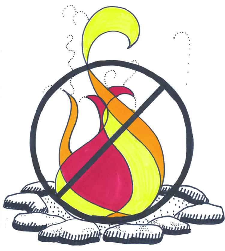
Under these restrictions, commercially manufactured lanterns and metal camp stoves used for cooking are allowed, when fueled with bottled propane or liquid fuel and operated in a responsible manner. The river fire closures prohibit building, igniting, maintaining, attending, using, tending, or being within 20 feet of a campfire, charcoal fire, or any other type of open flame. This closure also bans the use of portable propane campfires and wood pellet burning devices and restricts areas where visitors can smoke to non-public buildings, inside vehicles, in boats on the water, or while standing in the water.
The specific campfire closure locations apply to BLM-administered lands in the following areas:
• Within ½ mile of the Crooked River’s edge from the Highway 97 bridge to Lake Billy Chinook;
• Within ½ mile of the Deschutes River’s edge from the Highway 20 bridge to Lake Billy Chinook;
• Within ½ mile of Lake Simtustus (located between Round Butte Dam and Pelton Dam);
• Within the Lower Deschutes National Wild and Scenic River corridor, which extends from Pelton Dam to the Columbia River;
• Within ½ mile of Lake Billy Chinook, including the BLM Beach dispersed recreation site located ½ mile east of the Three Rivers Recreation Area on the south shore of the Metolius Arm of the lake;
• Within ½ mile of the White River’s edge from its confluence with the Deschutes River upstream to the eastern boundary of the Mt. Hood National Forest.
• The Mainstem John Day River from Tumwater Falls (River Mile 10) upstream to Kimberly (RM 185);
• The North Fork John Day River, from the confluence with the Mainstem at Kimberly (RM 0) upstream to the Umatilla National Forest boundary (RM 62); and,
• The South Fork John Day River from Smokey Creek (RM 6) upstream to the Malheur Forest (RM 47).
Closures on the Lower Deschutes, White, and Crooked Rivers and Lake Billy Chinook are in effect until October 15, 2020; while closures on the John Day River remain in effect until September 30, 2020. Except in emergency conditions or with permission by an agency authorized officer, there are no exceptions to this closure. A violation of this closure is punishable to by a fine of not more than $1,000 or imprisonment of not more than 12 months, or both.

