FOR IMMEDIATE RELEASE August 20, 2020
Contact: (541) 316-7711
Central Oregon – Firefighters saw continued fire growth yesterday on all fires across Central Oregon. Fire growth is expected throughout today with continuing windy conditions, though temperatures are expected to be cooler than the past several days.
Yesterday, the Green Ridge fire, approximately 12 miles northwest of Sisters, Oregon pushed across containment lines on the eastern edge of the fire. In one spot, the fire crossed the FS 11 Road, though firefighters quickly caught that edge with a dozer line. The fire continued to back down the west side of Green Ridge and rolling material on the northwest edge of the fire caused a small area of slop-over overnight. The fire is currently mapped at 1,937 acres. A virtual public meeting is planned for tomorrow and more details will be provided in a future update.
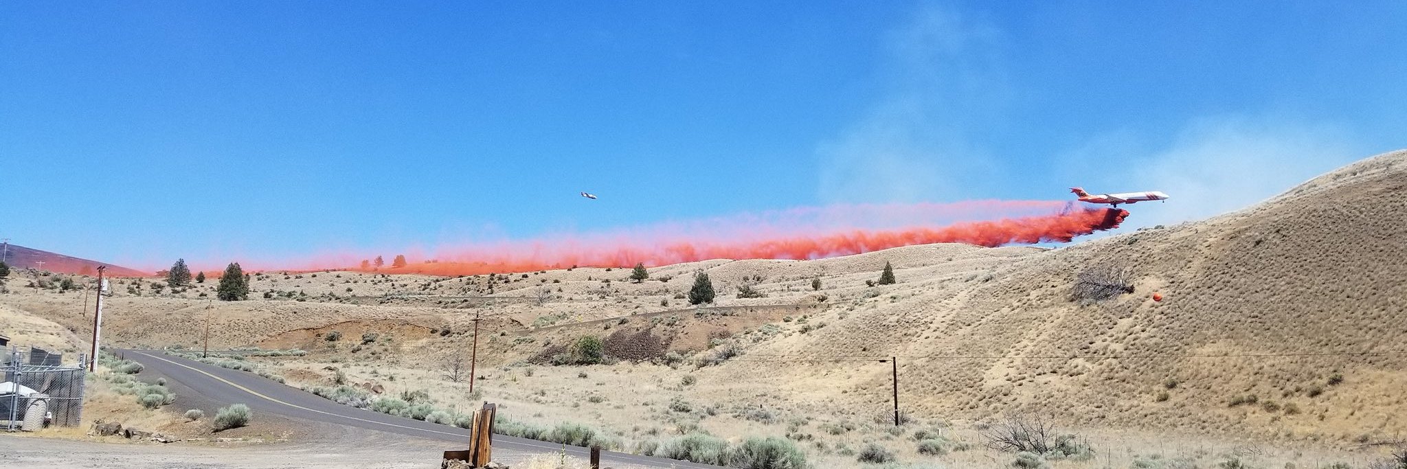
Firefighters will continue to use dozers to create containment lines on the eastern 2/3 of the Green Ridge fireline, while crews hold and improve the line through the heat of the day. Where the fire continues to back down the steep slopes of Green Ridge, firefighters will dig handline to stop the fire’s progress. The heavy and medium helicopters will continue to support the ground effort with bucket drops, and heavy airtankers will be available if the fire is pushed outside of containment lines again today. Information for the Green Ridge Fire can be found at: https://inciweb.nwcg.gov/incident/7012/. A video of this morning’s briefing on the Green Ridge Fire can be found at: https://www.facebook.com/NorthwestTeam10/videos/1199501773745681/
The Frog Fire in the Maury Mountains on the Ochoco National Forest, approximately 7 miles southeast of Prineville Reservoir, had significant growth yesterday and is now 3,700 acres with no containment. Firefighters worked throughout last night on structure protection in the area. Today crews will work to establish an anchor point in the northwest corner of fire to help with containment. Today an area closure will be established for the safety of the public and firefighters working in the area. More information will be provided on that area closure in a following update. A Type 2 Incident Management Team (D. Johnson) will take command of the fire at 6 p.m. today.
The Lily Fire on Deschutes National Forest is 37 acres and 25% contained. The fire is holding on its eastern and western flanks. The fire burned out of the 1996 Charlton fire scar area in the north yesterday. The fire continues to burn in heavy timber. Firefighters are being assisted by a helicopter dipping out of Lily Lake. An area closure has been put in place for this fire: https://www.fs.usda.gov/alerts/deschutes/alerts-notices. Hikers along the Pacific Crest Trail can detour around the closure near Charlton Lake and FS Road 4290 to the south and the Irish and Taylor lakes area to the north.
The Laurel Fire is burning on private land and Prineville District Bureau of Land Management (BLM) managed land approximately 7 miles northwest of Kimberly. Wheeler County Fire and Rescue along with firefighters from the BLM and US Forest Service are working on the approximately 1,000-acre fire along with Single Engine Air Tankers.
The Hog Ridge Fire 18 miles northwest of Dayville and north of Highway 26 near milepost 90 is estimated at 350 acres and 10% contained. Air tankers assisted crews and a dozer to construct line and by the end of the day fire behavior had moderated. Firefighters will continue holding and improving containment lines today.
For up-to-date information on Central Oregon fires, visit www.centraloregonfire.org or www.twitter.com/CentralORFire #


