News Release from Deschutes Co. Sheriff’s Office
Date: July 16, 2021
Released by:
Sgt. Nathan Garibay, Deschutes County Sheriff’s Office Emergency Manager
Brandon Fowler, Klamath County Sheriff’s Office Emergency Manager
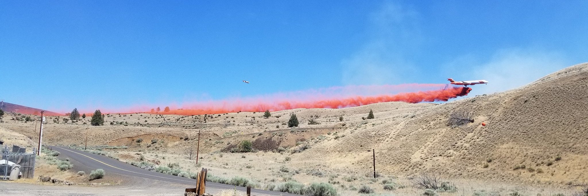
The Deschutes County Sheriff’s Office and Klamath County Sheriff’s Office are adjusting evacuation levels around the Darlene Fire in coordination with fire managers.
The following areas have been reduced from a Level 3 (Go Now) Evacuation Notice to a A Level 2 (Get Set) Evacuation notice:
- All residences south of La Pine off of Darlene Way to the Deschutes/Klamath County Line including Old Ice Cave Rd.
Level 2: Means “BE SET” to evacuate. You must prepare to leave at a moment’s notice. This level indicates there is significant danger to your area, and residents should either voluntary relocate to a shelter or with family and friends outside of the affected area, or if choosing to remain, to be ready to evacuate at a moment’s notice. Residents MAY have time to gather necessary items, but doing so is at their own risk. This may be the only notice you receive. Emergency services cannot guarantee that they will be able to notify you if conditions rapidly deteriorate. Area media services will be asked to broadcast periodic updates.
The following areas have been reduced from a Level 2 (Be Set) Evacuation Notice to a Level 1 (Be Ready) Pre-Evacuation notice:
- Areas south of the Deschutes/Klamath County line including most of township 23 east of Hwy 97. This area includes Sun Forest Estates, Split Rail, and Antelope Meadows.
Level 1: Means “BE READY” for potential evacuation. Residents should be aware of the danger that exists in their area, monitor emergency services websites and local media outlets for information. This is the time for preparation and precautionary movements of persons with special needs, mobile property and (under certain circumstances) pets and livestock. If conditions worsen, emergency services personnel may contact you via an emergency notification system.
This decision was made after consultation with fire managers. We will continue to work with fire managers to ensure public safety and prevent conflicts between citizens and fire operations. Please refrain from unnecessary travel through these areas as fire equipment and personnel are moving through the area.
Several property owners sustained damage from the fire. At this time, preliminary reports indicate 2 residential buildings, several outbuildings, RVs, and other vehicles were damaged or destroyed. Property owners inside the fire area, should be aware of hazards including burned trees, structures that may been destroyed by fire, and hazardous substances. Please use caution if your property was impacted by fire.
We appreciate the cooperation and understanding of residents.
Current maps including evacuation areas can be found at: https://deschutes.org/emergency
For fire information, you can visit the Central Oregon Fire Information site at: www.centraloregonfire.org
For American Red Cross assistance, please call 1-888-680-1455.
## End of Release ##


