Cedar Creek Fire Quick Facts
Size: 114,999 acres
Contained: 20%
Origin: 15 miles east of Oakridge, Oregon
Cause: Lightning
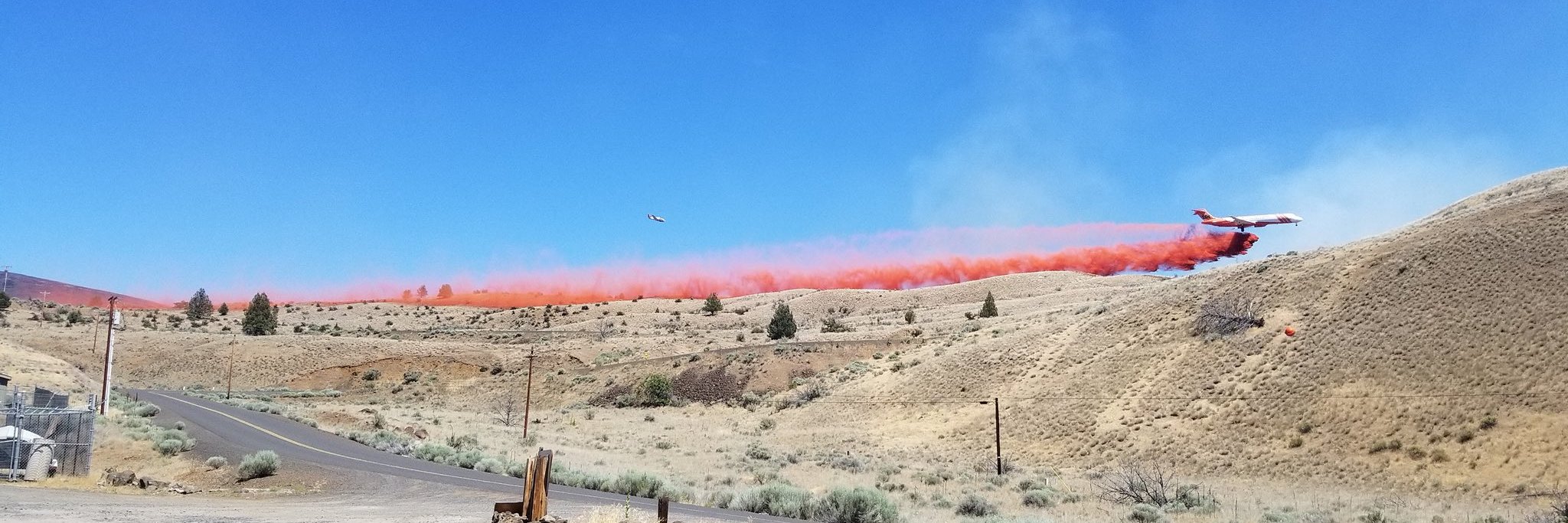
West Zone Operations: Crews saw progress with firing operations as warmer temperatures allowed for the use of low intensity fire to create depth toward control lines. Aerial and ground-based ignitions were utilized on the south and southeast areas and will likely continue today with persistent weather conditions. Smoke from the fire area will be visible again in the local communities. Heavy equipment is working along the northern edge of the fire to remove heavy fuel loads along potential containment lines. All other areas of the fire continue to be held within control features. Hazards to crews and fire personnel remain with fire-weakened trees, driving, and other environmental and human factors. Fire managers deploy strategies around the West Zone of the fire that offer the greatest probability of success while reducing or mitigating risk to firefighters and the public whenever possible. Favorable weather
conditions in the days ahead should aid in progress toward containment objectives.
East Zone Operations: Fire behavior continues to be limited to short flames that smolder and creep along the forest floor. No new perimeter growth is expected today. Crews are checking the fire edge east of Waldo Lake to ensure that embers are completely extinguished. Firefighters continue to build shaded fuel breaks along the Cascade Lakes Scenic Byway/Route 46, focusing on the section of roadway west of the Wickiup Reservoir. Near Lava Lake, where the shaded fuel breaks are closer to completion, crews are using heavy machinery to remove woody debris and log loads. Resource Advisors play an important role in this work. These natural resource experts coordinate with fire managers to reduce the impacts of the fire, including suppression and prevention actions, upon natural resources. When the fire is burning in designated Wilderness areas, they consult with the incident management team on methods to minimize adverse impacts upon sensitive species. Cascade Lakes Scenic Byway/Route 46 remains closed from Lava Lake in the north to Crescent Cutoff Road in the South. Highway 58 is open, however Oregon Department of Transportation paving operations may cause delays
Weather:
The temperature, relative humidity, and winds will be similar to yesterday with improved humidity recovery overnight. The fire area is forecasted to receive precipitation up to one-tenth of an inch on Wednesday. The precipitation should off-set the increased winds to moderate fire behavior.
Closures: The Deschutes National Forest and Willamette National Forest both have closures and fire restrictions in effect. Some of these closures will remain in effect until areas that have been heavily impacted by the fire are surveyed for safety hazards. Please visit Willamette National Forest and Deschutes National Forest for the most recent closure orders and maps.
A Temporary Flight Restriction (TFR) is in place. The use of drones is prohibited in the fire area, please make it safe for our firefighters to use aircraft on the fire. Pacific Crest Trail hikers should visit pcta.org for current information.
Smoke: For current conditions, see Fire.airnow.gov, oakridgeair.org, and LRAPA – Today’s Current Air Quality.


