Cedar Creek Fire Quick Facts
Size: 121,249 acres
Contained: 38%
Start Date: August 1, 2022
Origin: 15 miles east of Oakridge, OR
Cause: Lightning
.
Operations: Yesterday, firefighters spent another day working patrol, mop up and repair across the entire
Cedar Creek Fire. Road repairs remain a high priority to allow safe access for firefighters and resource
advisors (READs) to enter interior regions. The east wind event on Wednesday night caused a spot fire in
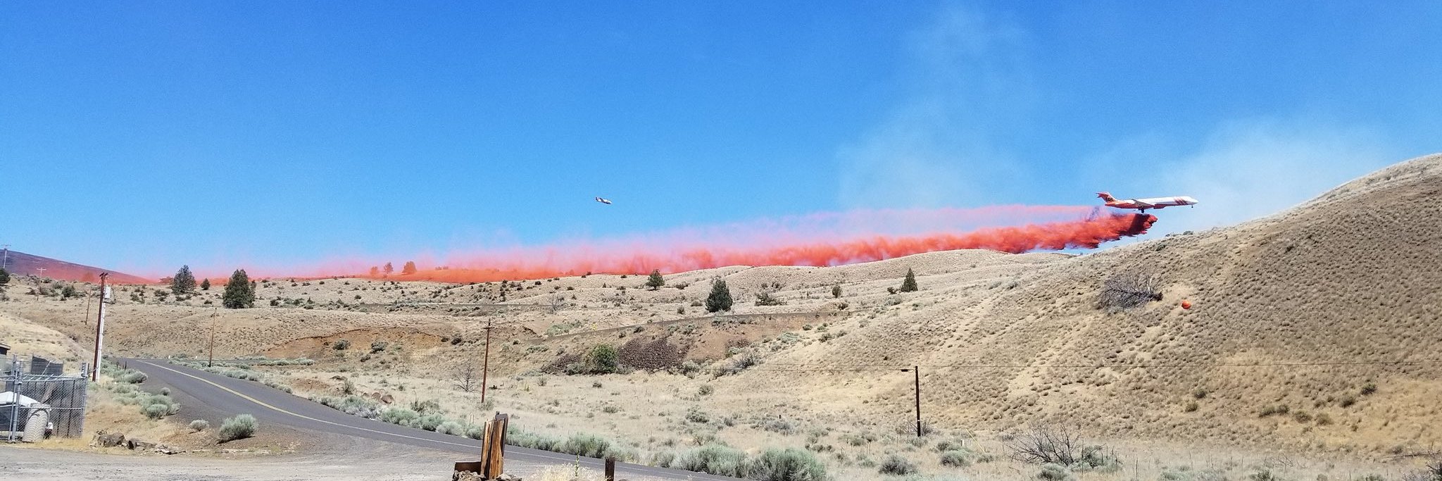
Division T near the southern tip of the fire, northwest of Lucas Lake. Air resources were utilized to slow
spread and two hotshot crews worked on the spot fire throughout the day yesterday. Air operations as well as ground resources will continue working to contain the spot fire today. The wind event has contributed to increased fire activity in this area and other locations on the fire, producing more smoke as hot and dry weather persists across the fire area. Hauling debris continues in the east branch of the Cedar Creek Fire.
Repairs on the Potter Fire are finishing up and focus will shift to clean up on the Big Swamp Fire.
Weather: Increased windspeeds and low humidity are predicted to occur Friday and Saturday. Smoke
impacts will persist in the area throughout the morning hours and into the early afternoon. A shift in wind
direction from east to northwest and a slight increase in windspeeds is expected this afternoon, along
with increasing temperatures.
Closures: The Deschutes National Forest and Willamette National Forest have closures in effect.
Yesterday, fire restrictions were lifted in both forests. Some of these closures will remain in effect until
areas that have been heavily impacted by the fire are surveyed for safety hazards. Please respect Forest
closures for firefighter and public safety. Please visit Willamette National Forest and Deschutes National
Forest for the most recent closure orders and maps. A Temporary Flight Restriction (TFR) is in place. The
use of drones is prohibited in the fire area, please make it safe for our firefighters to use aircraft on the
fire. Pacific Crest Trail hikers should visit pcta.org for current information.
Smoke: For current conditions, see Fire.airnow.gov, oakridgeair.org, and LRAPA – Today’s Current Air
Quality.


