FOR IMMEDIATE RELEASE: June 24, 2024
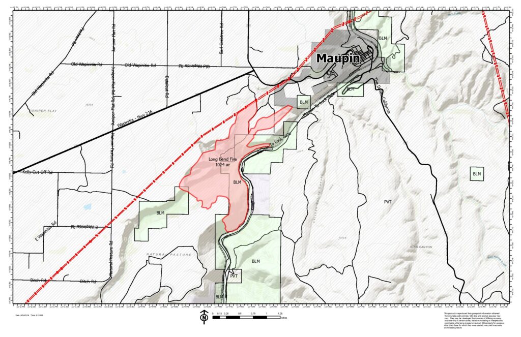
Central Oregon —The Long Bend Fire (Incident #277) is burning approximately two miles southwest of Maupin on the west side of the Deschutes River. The fire is currently estimated at 1,024 acres and 5% contained burning on Bureau of Land Management and private lands.
Most of the fire’s growth yesterday occurred in the Wapinitia Canyon area. Firefighters engaged on the western edge of the fire in places that were safe to access while dozers conducted operations in the flat terrain above the canyon. The southern and eastern portions of the fire remained quiet. Engines continue to patrol the eastern line to ensure that spot fires do not occur on the east side of the Deschutes River.
Yesterday afternoon, the Wasco County Sheriff’s Office issued a Level 2 “Get Set” notice for all residences south of Hwy 216 from Natural Pasture Road to Blue Rock Road and All Residences East of Reservation Rd and South of Hwy 216 to Natural Pasture Road. Evacuations remain in place for Harpham Flat Campground & Wapinitia Campground. Boaters in the general area are asked to use caution as helicopters may be dipping water out of the river.
A Central Oregon Type 3 incident management team took command of the fire yesterday afternoon at 3:30 p.m. Resources assigned to the incident include 1 Type crew, 4 Type 2 initial attack crews, 7 engines, 3 water tenders, 1 dozer, 2 Type 2 helicopters, 2 Type 2 helicopters, 1 Type 3 helicopter and 25 overhead personnel.
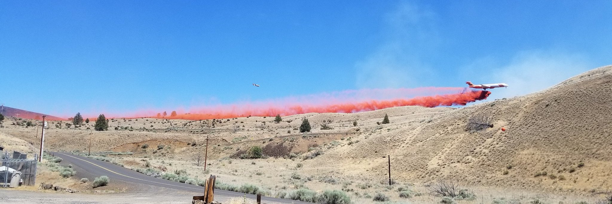
Today, firefighters will look for opportunities to engage the fire directly along Wapinitia Creek. Crews will also focus on patrolling and extinguishing sources of heat along the fire perimeter to secure control lines. Aircraft will assist ground resources as needed by dropping water to help cool hot spots.
The fire started the afternoon of Saturday, June 22. The cause of the fire remains under investigation.
For current wildfire information, the public can visit centraloregonfire.org or follow fire information on X (Twitter) @CentralORFire.
# # #


