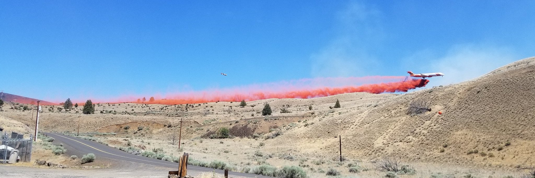
Size: 64,860 acres Location: 10miles SE of Condon, Oregon County: Gilliam
Start Date: July 13, 2024 Containment: 1% Cause: Under Investigation Total Personnel: 333
Fire Information Line – 541-208-4369
Lonerock, Oregon — The Lone Rock Fire began on July 13, and is being managed under a full suppression strategy. The Southern Area Gray Incident Management Team, led by Incident Commander Fulton Jeansonne, assumed command of the fire on Sunday, July 14, at 8:00 PM local time.
Yesterday’s Activities – There was continued fire activity and growth on Monday and overnight. Fire personnel were actively engaged in suppression efforts as well as scout and identify possible fire containment lines. Helicopters, large air tankers, and single-engine air tankers dropped water and retardant to slow fire spread.
Today’s Activities – Fire crews will continue to build on prior suppression efforts. Any flare ups and hot spots will be extinguished. Increased fire behavior is possible today with continued hot, dry, and windy conditions. Around the town of Lonerock, resources will build upon the progress from the previous operational periods. Fire crews will continue fire suppression repair activities, mop-up, and patrol of containment lines. Any flare ups and hot spots will be extinguished.
Weather – Sunny, with a high near 94. South wind 5-8 mph becoming northwest in the morning.
Level-3 Evacuations – GO NOW! Level-3 Evacuate immediately for the following areas:
Gillium County – From the community of Lonerock. An evacuation center is set up at memorial hall in Condon. For more information on evacuations, visit Gilliam County Sheriffs Office Facebook page.
Morrow County – From the West County Line along Buttermilk Canyon to HWY 207, Mile Post 10 South of Hardman to the South Morrow County line. The Red Cross will be setting up a temporary shelter at the Heppner Elementary School. For more information on evacuations, visit: https://www.facebook.com/mcsoheppner
Level-2 Emergency Alert – GET SET! Level-2 Be set to evacuate at a moment’s notice for the following areas: From Hardman to the South Morrow County Line.
Smoke from the Lone Rock Fire continues, and maps and air quality information is always available on https://fire.airnow.gov/. Please help firefighters by following all local regulations, found here: https://www.oregon.gov/odf/fire/pages/restrictions.aspx. Additional wildfire prevention tips are available at www.keeporegongreen.org.
If you fly, we can’t. Unauthorized drone flights (UAS) pose serious risks to firefighter and public safety and the effectiveness of wildfire suppression operations. Aerial firefighting is suspended when unauthorized UAS are in the area, allowing wildfires to grow larger.
###


