FIRE AT A GLANCE
Estimated Size: 18,762 acres
Containment: 2%
Cause: Lightning
Estimated Cost: $650,000
Personnel: 213
Evacuations
https://www.facebook.com/prof ile.php?id=100068819321423
https://member.everbridge.net/i ndex/2590041373147145
Road Closures
Top Road (Morrow and Grant counties), Cupper Creek Road and Wall Creek Road.
Wind and thunderstorms increase fire behavior, challenge firefighters
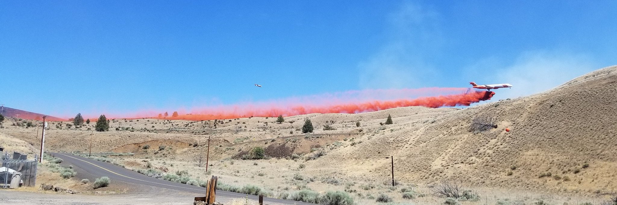
MONUMENT, Ore. – Erratic winds and thunderstorms increased fire behavior late Monday afternoon and overnight on the fire. The fire spotted across the line in the southeast area of the fire. Firefighters were able to complete line around approximately 50% of the spot which is estimated at 200 acres. Today firefighters will focus on securing the line constructed overnight and work to complete the remaining fireline.
Critical weather conditions will continue today with the possibility of additional thunderstorms and gusty, erratic winds. Increased instability and lifting of the inversion will likely result in increased fire behavior throughout the day.
Coordinated efforts between local landowners, structural firefighters and wildland resources in the southwest area of the fire near Top Road were successful in keeping the fire from crossing Top Road. The fire has moved south into the Cupper Creek drainage. Today firefighters are working to establish control lines in this area and keep the fire from spreading.
Late Sunday afternoon lighting ignited the Courtrock Fire near Long Creek. Team 1 supported the local district with initial attack on the fire, and overnight assumed command of the fire. The fire is approximately 1,500 acres and is 90% lined, burning in primarily grass and juniper.
The Boneyard Fire is currently 18,762 acres and was started by lightning on July 17.
Closures: The Bureau of Land Management has closed public lands along the John Day River from Kimberly to Dale, and from Kimberly to Service Creek.
The Umatilla National Forest has implemented a closure for public lands within the Heppner Ranger District.
Evacuations: Level 2 (Be Set) and Level 3 (Go Now) evacuations are in effect. For updated evacuation information:
Grant County Emergency Management Office’s Facebook page, https://www.facebook.com/profile.php?id=100068819321423, or sign up for the Grant County Emergency Alert System at https://member.everbridge.net/825462649520134/login.
Morrow County Evacuation information can be found at https://experience.arcgis.com/experience/de78333b0d2544f7a320142174aa20ae


