Officials Urge Caution as Fire Risks Remain High
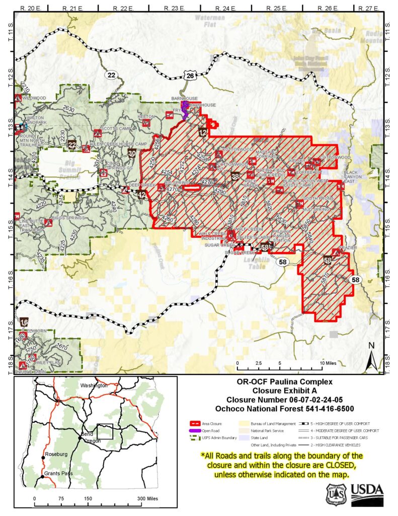
Prineville, Ore., August 29, 2024— The Ochoco National Forest & Crooked River National Grassland, in coordination with the Prineville District Bureau of Land Management (BLM), fire management officials, and the Crook, Wheeler, and Grant County Sheriff’s Offices, have jointly made the decision to expand the Paulina Complex Fire Area Closure due to multiple fires across the landscape.
This decision comes after careful evaluation of the current fire situation, containment progress, and safety assessments conducted by fire management officials and local authorities. These fires have significantly impacted the region, and new fire activity necessitates an expansion of the closure area for public safety.
Key Changes to the Closure:
- Expanded Closure Boundaries: The closure area has been expanded to account for increased fire activity and new fire threats. A detailed map of the updated closure area is available on the Ochoco National Forest website and BLM website.
- Continued Safety Precautions: Active fire behavior and unstable conditions remain across the fire landscape. Increasing fire activity, particularly with forecasted warmer and drier weather, poses ongoing threats, and the public is urged to respect all closures and safety signs.
Ongoing Efforts and Safety Reminders:
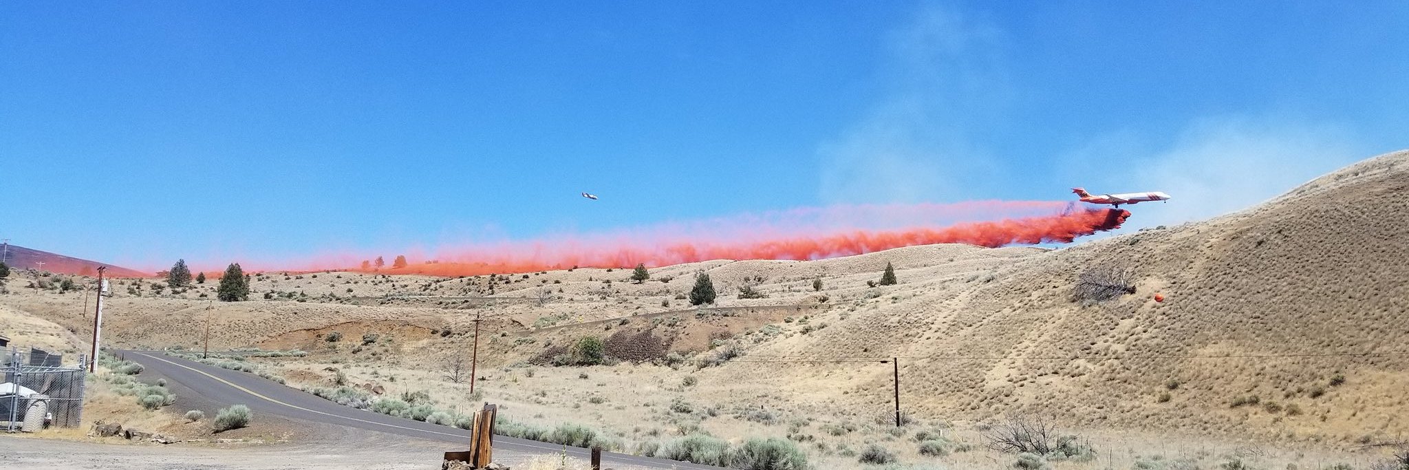
Fire management officials, in collaboration with local authorities, continue to closely monitor the fire area. Firefighters are actively engaged on the ground to manage fire suppression efforts and address any emerging risks.
We recognize the impact these closures are having on our communities, particularly during hunting season. We appreciate your patience and cooperation as we work together to manage these fires and protect public safety.
Public and firefighter safety remains our top priority, and we thank the community for their understanding and support during this challenging fire season.
Crook, Wheeler, and Grant County Evacuation Updates:
- The Crook County Sheriff’s Office has lowered evacuation levels from Level 3 to Level 2 in areas south of Highway 380. However, areas around SE Puett Road and the perimeter of the Crazy Creek Fire remain under Level 3 (Go Now) status. For the latest updates, visit the Crook County Emergency Management website and Crook County Sheriff’s Office Facebook page.
- Wheeler County: The Wheeler County Sheriff’s Office continues to monitor fire activity. The area near Beaver Creek Road remains at Level 2 (Be Set), with areas around the fire perimeter still under Level 3 (Go Now) orders. Visit the Wheeler County Sheriff’s Office Facebook page for real-time updates.
- Grant County: A Level 3 “Go Now” alert remains in effect for areas around the Rail Ridge Fire, with Level 2 “Be Set” and Level 1 “Be Ready” advisories for other areas. For the most up-to-date evacuation information, visit the Grant County Emergency Management Facebook page.
For information on the Ochoco National Forest & Crooked River National Grassland please visit our website https://www.fs.usda.gov/ochoco and our Facebook Page.


