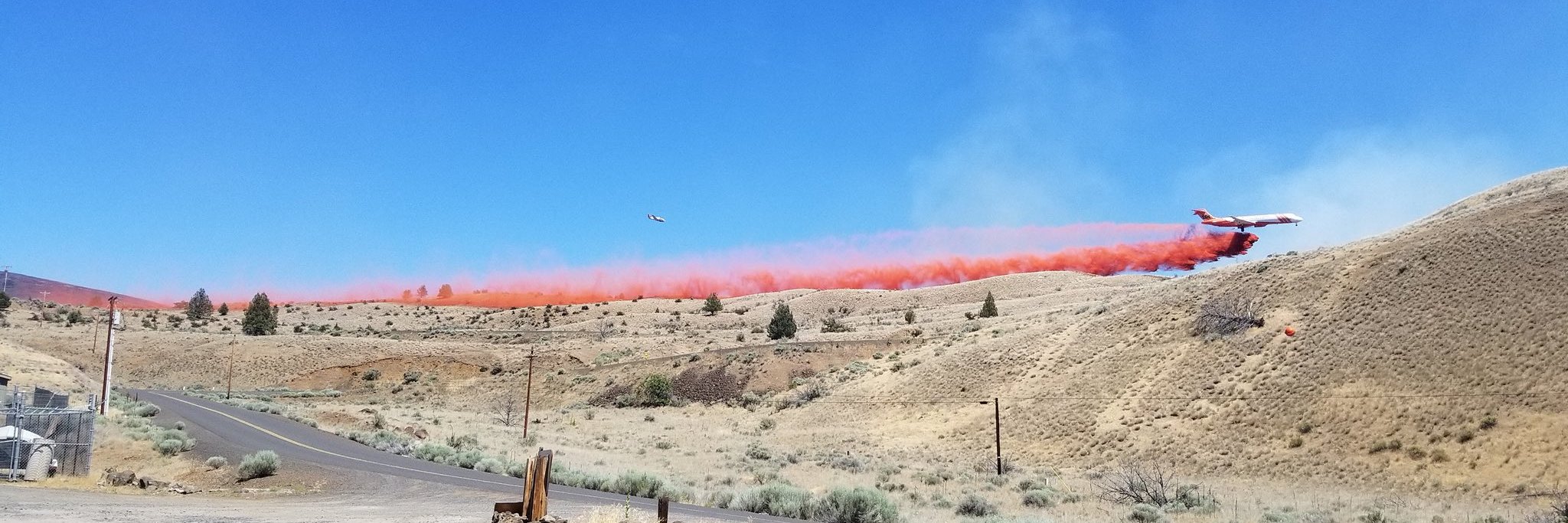
Central Oregon — Firefighters continue to respond to numerous lightning-caused wildfires across central Oregon. The majority are concentrated south of Bend across Deschutes County on the Deschutes National Forest and range in size from 1/10 of an acre to 14,000 acres. The largest fires include:
Firestone Fire –6500 acres, located southeast of Paulina Lake. This fire along with the Flat Top Fire will be managed by Central Oregon Type 3 Incident Management Team (IMT).
Flat Top Fire– 13,680+ acres, located southeast of Newberry Caldera on the Deschutes National Forest, and burning in brush and timber. Multiple air and ground resources are responding.
Backside Fire – 80 acres, located west of Mt. Bachelor on the Deschutes National Forest. Multiple air and ground resources are responding. Mt. Bachelor Resort and recreational infrastructure are considered threatened. An CIMT (Complex Incident Management Team) will manage this fire.
Little Lava Fire – 1000+ acres, located approximately 2 miles SE of Little Lava Lake. Multiple ground resources including engines and dozers are responding.
Evacuations
The Deschutes County Sheriff’s Office issued the following “Due to continued growth and expected fire, fire managers have recommended adjustments to the evacuation levels for areas around the Firestone and Flat Top Fires. These fires are burning in southern Deschutes County and northern Lake County.”
Level 3 (Go Now): Pine Mountain and areas south to the Lake County Line. Additionally, areas west of FS 18 Rd (China Hat Rd) south of FS Rd 21 to the Lake County Line.
Level 2 (Be Set): Area north of FS Rd 21 to FS Rd 1835 between Newberry Caldera and FS Rd 18 (China Hat Rd).
Level 1 (Be Ready): Areas within the Newberry Caldera (East and Paulina Lakes), areas north of FS 1835 to FS Rd 1830 and west of FS Rd 18 (China Hat Rd), and the Millican Valley due north of Pine Mountain to Hwy 20.
Evacuation notices in the Mt. Bachelor area have remained the same. For more information visit flashalert.net/id/DeschutesSO?alert=1 and stay up-to-date on Deschutes County evacuation notices using their interactive map: experience.arcgis.com/experience/6f8868c4477e462b8a653a89260268fc/page/INCIDENT(S)/#data_s=id%3AdataSource_1-Emergency_Response_OEM_Public_2766%3A187
Weather predictions are calling for continued low humidities and windy conditions along with lightning storms which will lead to additional fire starts. Visit the official source for wildfire information in Central Oregon at centraloregonfire.org for wildfire updates or follow fire information on X/Twitter @CentralORfire. Call 9-1-1 to report a wildfire. For smoke and air quality information visit fire.airnow.gov.


