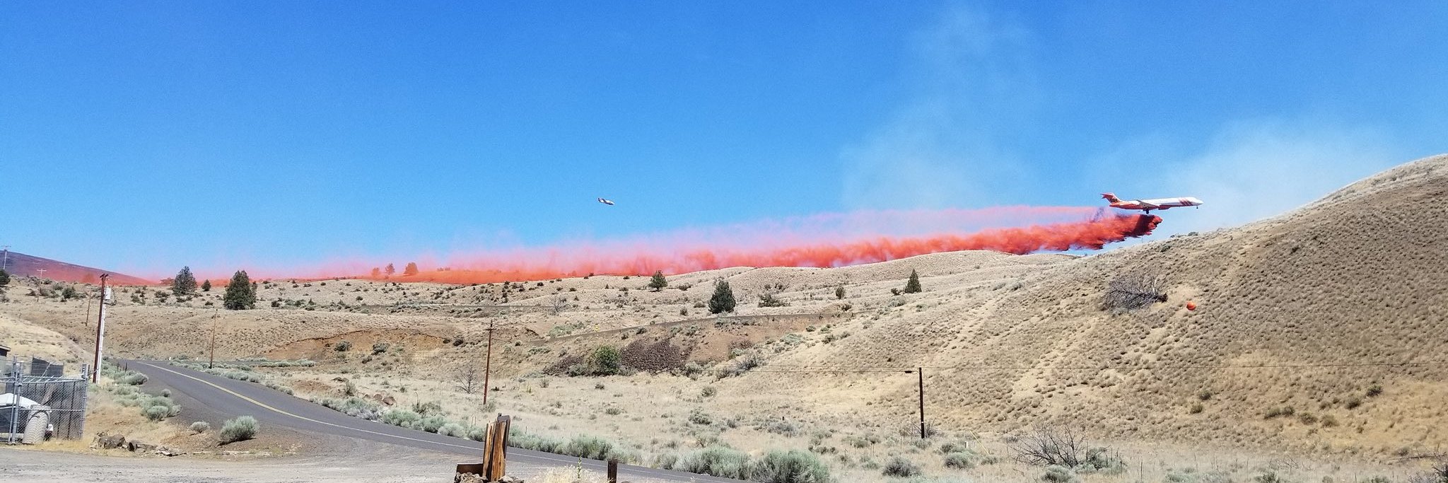
Alaska Team 3 to Take Command
Daily Update September 19, 2024
Fire Information Phone:541-208-7108 (8 a.m.- 8 p.m.)
Email: [email protected]
Acres: Wiley Flat – 30,186 acres; 94.5% contained
Hawley Ridge – 793 acres; 100% contained
Location: Wiley Creek: about 10 miles southeast of Post, Oregon off Highway 380
Start Date: September 2, 2024
Personnel: 297 personnel
Resources: 7 crews | 9 engines | 4 bulldozers | 11 water tenders | 2 masticators | 4 skidgens |7 excavators |2 ambulances
Highlights: Crews have completed suppression repair on the majority of the fire perimeter, and they continue to monitor the completed sections for any heat. They are taking extra care to repair more sensitive areas to restore them to a natural state. On the southwest perimeter, firefighters continue mopping up and securing the remainder of the direct lines. After a successful tour, California Team 1 will be transferring command of the Wiley Flat fire to the incoming Alaska Team 3 at 7:00 PM today. We would like to thank the community for all your support. It has been our pleasure serving you.
Today’s Weather: Cool temperatures with clouds will continue today with highs in the 70’s. The air will be dry with somewhat lower relative humidity in the 35% range. We will see milder winds from the west-northwest.
Evacuations: The Crook County Sherrif has lowered the evacuation areas as follows:
LEVEL 3: Areas inside the fire perimeter are designated Level 3 Evacuation zones.
LEVEL 2: The area encompassing approximately one-half mile from the fire perimeter is designated Level 2 evacuation zone.
The Red Cross evacuation shelter is in the Carey Foster Hall at Crook County Fairgrounds SE Lynn Blvd. Prineville, OR 97754. Information number: 1-800-RED-CROSS
Importance of Fire Prevention: All public lands in Central Oregon are in Stage 2 Public Use (Fire) Restrictions. All open flames, including woodstoves and charcoal briquette fires, are prohibited. In times of high fire danger, it is crucial for everyone to follow prevention measures to avoid additional strain on overburdened resources.
Fire Restrictions and Closures: These areas are closed to all uses, including recreational activities, for public and firefighter safety. The Ochoco National Forest has implemented temporary closures consisting of all geographical areas, including all roads, trails, and recreation sites, on Forest Service land within a portion of the Lookout Mountain Ranger District. The Bureau of Land Management has issued a temporary closurefor portions of public lands in Crook and Grant Counties.
More Information:
InciWeb: https://inciweb.wildfire.gov/incident-information/orocf-wiley-flat
Facebook: Facebook.com/2024Wiley Flat Fire
Central Oregon Wildfire Information: https://centraloregonfire.org/
Lookout Mountain Ranger District Closures: https://www.fs.usda.gov/alerts/ochoco/alerts-notices/?aid=90382
BLM Crook and Grant Counties Temporary Closures: https://www.blm.gov/programs/public-safety-and-fire/fire-and-aviation/regional-info/oregon-washington/fire-restrictions
Crook County Emergency Information Map: https://crookcounty.maps.arcgis.com/apps/instant/minimalist/index.html?appid=3ddd30c1faeb455fb287dfa122d9ea5e
Wiley Flat Fire
Email: [email protected]


