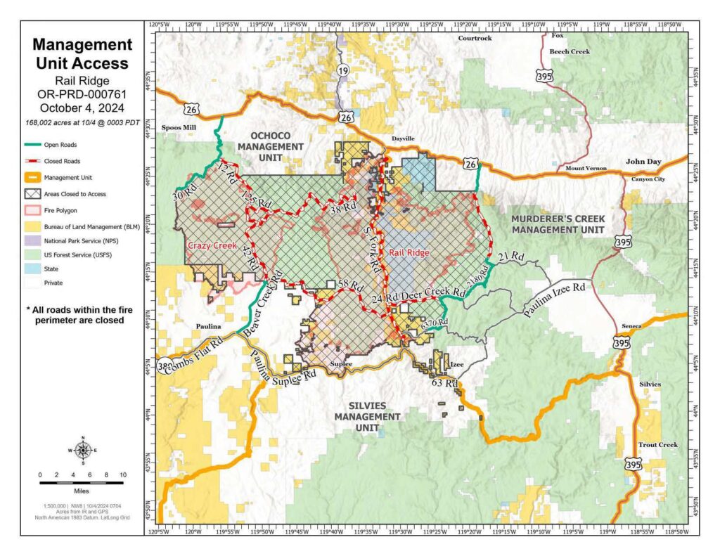
NEW map available today depicting hunting units
See attached “Management Unit Access” map.
*Available on Rail Ridge Inciweb also*
Rail Ridge Fire Update
October 04, 2024
Central Oregon Wildfire Information: centraloregonfire.org
Email: 2024.railridge@firenet.gov – Phone: 541-208-7111
Social Media, Evacuation and Closure Information: https://linktr.ee/RailRidgeFire
Acres: 167,718 – Containment: 89% – Detection: 09/02/24 – Cause: Lightning – Personnel: 617
A critical weather day is expected this afternoon over the Rail Ridge Fire. A cold front will pass over the fire around noon with wind gusts of 25-30 mph from the southwest switching to westerly/northwesterly with increasing gusts of 30-35 mph as the front passes. Going into the weekend calmer winds and higher relative humidity will be present over the fire area.
Operational Update
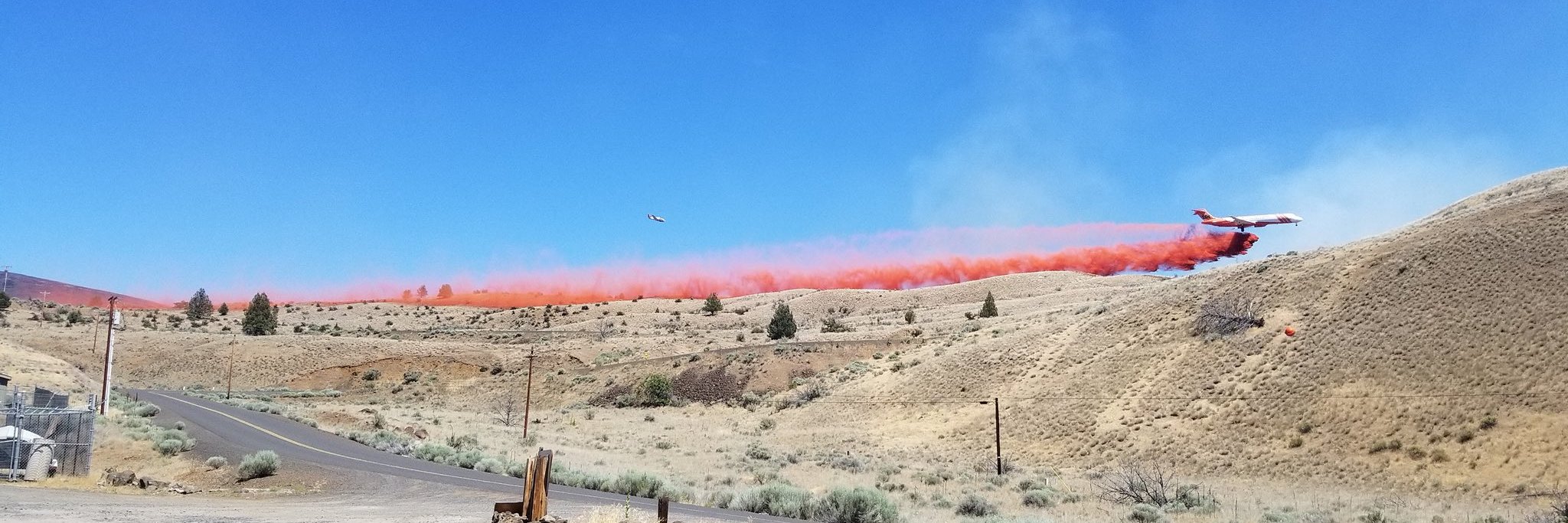
Yesterday, in the Black Canyon Wilderness, on the south side of Black Canyon Creek, the fire continued to burn toward the west. Crews and dozers continued constructing contingency control lines around the north and west sides in preparation of today’s weather. Uncontained areas on the north side of the fire that are inaccessible due to steep terrain were monitored and stayed in place throughout the day. One small slopover was found on the overnight IR flight on the eastern line of the fire and was suppressed early in the day. In anticipation of the strong South/Southwest winds predicted for today, crews worked with a helicopter dropping water on the hottest areas on the Eastern edge of the fire footprint. All around the contained fire edge, firefighters continued mop-up, patrol and suppression repair.
Today, firefighters will be on a heightened alert for the high winds and low relative humidities predicted for the afternoon hours. There is potential for high fire activity in the wilderness and areas throughout the fire that continue to have heat and areas of unburned fuels within the fire footprint. Firefighters continue to work the eastern edge of the fire to mop-up heat along the fires edge that will be tested by the south/southwesterly winds predicted for this afternoon. Firefighters will continue to construct contingency control lines and strengthen containment around the Black Canyon Wilderness, adding depth to lines that are already in place as the weather allows. Suppression repairs are ongoing with resource advisors and mop-up and patrolling will continue around the contained portions of the fire. Much higher relative humidity, cooler night temperatures, and moderating winds through the weekend will be a welcome weather break for fire personnel.
Weather: A cold start in the morning hours today will lead to similar temperatures as yesterday in the low 70’s. Expect gust of winds between 25-35 mph throughout the afternoon before weather conditions moderate and steady out towards the weekend.
Evacuations
Level 1 evacuations in Grant County were dropped yesterday and the level 2 evacuations remain. Wheeler County evacuation remain the same.
For Current Evacuation Levels all affected counties, please visit: https://linktr.ee/RailRidgeFire
Closures: The U.S. Forest Service and Bureau of Land Management have implemented closures for the Rail Ridge Fire. For more details and closure maps, visit https://linktr.ee/RailRidgeFire


